
Find Lynwood Residents by Street
The strongest street directory workflow starts with one complete Lynwood address. The county Assessor accepts a street address or AIN, while the Recorder does not accept an address or APN as its index key. That makes the first stop a parcel search, not a deed search. Record the exact situs, AIN, map link, use, tax status, and legal-description shorthand before moving to a person’s name.
Walk the evidence in a fixed order. The sequence below keeps a parcel fact from being mistaken for a household fact.
- Enter the full address in the LA County Assessor Portal and save the AIN and situs address.
- Open Map Search or the parcel map, identify nearby AINs, and verify each adjacent situs instead of copying a street label.
- Use the Assessor’s specific-property phone, contact, or office route for the current assessee and mailing address.
- Take the owner name and an estimated year to the RR/CC grantor and grantee index at Norwalk.
- Add address-keyed permits, voter rules, or a Haines criss-cross volume only when the question calls for them.
The flow is simple: address to AIN, AIN to parcel facts, parcel to assessee, assessee to deed, and deed to earlier title. A reverse directory runs a different path from address to listed subscriber. Keeping those flows separate is the core of a reliable Lynwood address trail.
Lynwood Street Directory Assessor Fields
The Assessor’s Basic Search is the named local portal for an address lookup. It accepts a ten-digit AIN or a complete street address through an autocomplete field. Legal Search is a second mode, but its live subfields were not exposed in the inspected interface. No public owner-name, street-name-only, ZIP-wide, export, or household browse mode was verified.
| Field or control | Format and meaning |
|---|---|
| Search by AIN or Address | Required to run a basic search; accepts a ten-digit AIN or complete address. |
| Basic Search | Default property search mode. |
| Legal Search | Alternate mode; dynamic subfields were not captured. |
| Map Search | Opens a spatial browse for the selected parcel and nearby lots. |
| Owner name | Not offered online; request a specific parcel through the county phone, form, or office. |
The county’s ownership FAQ directs a researcher to a specific-property request using the AIN or complete address. An address guide should state this limit plainly. The online card is a parcel view. The person tied to the assessment roll is obtained through a separate lawful channel.
For a visual reference, the Assessor mapping help explains the address, map, and owner-name boundaries behind this street-search screen.
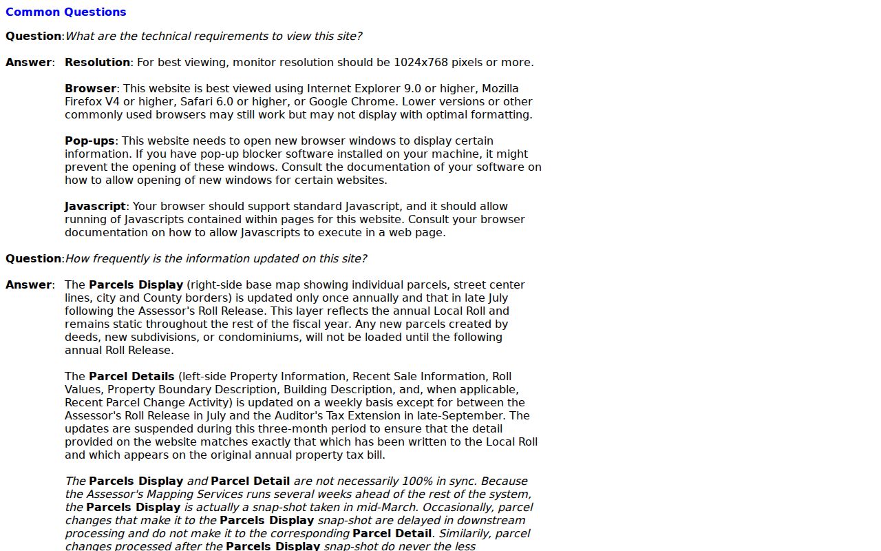
The map can orient a street search, but the recorded legal description remains the better identifier for older title work.
Lynwood Street Records Parcel Card
A selected Lynwood parcel card can answer many physical and tax questions without naming an occupant. The inspected card for AIN 6173-003-901 showed a Sanborn Avenue situs, commercial use, government-owned exempt status, active parcel status, tax-rate area, creation date, building size, effective year built, land and improvement values, and a responsible South District office.
Its sample fields show why an address record needs field-level reading.
| Card field | What it can establish | What it cannot establish |
|---|---|---|
| AIN and situs | Parcel key and physical tax location | Every person at the location |
| Use and parcel status | Recorded property classification and active status | Current occupancy |
| Building facts | Size, units, beds and baths, year built or effective year | Who made or lived through a change |
| Values and exemption | Roll values, tax status, and exemption display | Proof of owner occupancy |
| Map and district office | Spatial context and county responsibility | A deed image or resident list |
The card omits the owner or assessee name, owner mailing address, deed image, sale price, household occupants, and resident names. An exemption value of “None” also does not prove that a place is occupied by someone other than the owner. Those are different record questions.
For a visual reference, the inspected Lynwood sample parcel shows the kind of fields a street directory can safely quote.
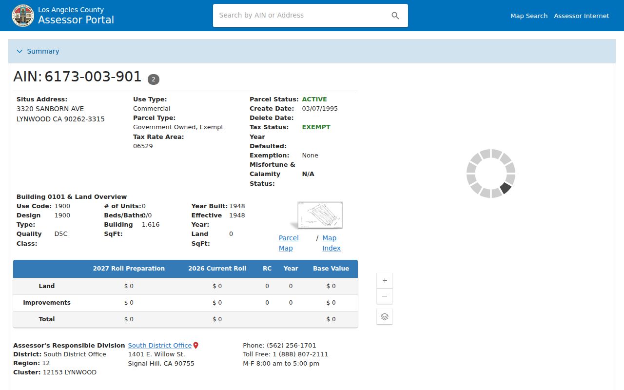
Keep the AIN with the map and legal-description clues. It is the bridge to the tax and deed records.
Lynwood Street Map and City Lines
Map Search lets a researcher move from one parcel to the lots that touch or face it. Capture each adjacent AIN, open its card, and confirm the situs address. The static parcel map supplies lot geometry and map references. The research session could not verify a buffer tool, export limit, or exact dynamic toolbar label in the Assessor map.
LA County Planning’s GIS-NET documents AIN, address, or intersection search, layers, identify, query, buffer, measurement, drawing, export, reports, printing, aerial imagery, and Street View. It is built for unincorporated county territory, not for assigning zoning inside incorporated Lynwood. The county’s map catalog separately lists Lynwood Island, which makes the city boundary question important.
Inside Lynwood, the City Planning Division provides an online zoning map, PDF map, and planning-review route. City Planning handles site plans, signs, fences, subdivisions, home occupations, and zone changes. Zoning is a land-use clue, not a list of residents.
For a visual reference, the Lynwood Planning Division is the official gateway for the city zoning and parcel context.
A postal Lynwood label, 90262, and incorporated-city boundary are three separate geographic tests.
Lynwood Street Records Coverage
No county portal returns a verified browse of every person on a named Lynwood street. The address-record chain is assembled from several custodians. Each row below answers a different part of the address-record question.
| Record set | Keeper | Street-level evidence | Access |
|---|---|---|---|
| Parcel card | LA County Assessor | AIN, situs, use, values, building facts | Free address or AIN search |
| Assessment roll | LA County Assessor | Specific assessee and mailing address | Phone, form, or office |
| Parcel map | LA County Assessor | Adjacent geometry and parcel numbers | Map Search |
| Deeds and liens | RR/CC Recorder | Grantor, grantee, date, number, legal description | Name and year at Norwalk |
| Tax payment history | Treasurer and Tax Collector | Three fiscal years by AIN | Free AIN search |
| Permits and code files | City Building and Safety | Address-dated work and releasable applicants | Request route; no verified public browse |
Use the AIN to join the parcel card and tax history. Use the legal description and document number to join a deed. Use the address and year to join a permit or reverse directory. A street name is useful for discovery, but it is not a universal key.
Lynwood Street Tax Records by AIN
The Treasurer and Tax Collector offers a free secured-property payment-history tool with one required field: “Enter Assessor’s ID Number (AIN).” A result shows the AIN, address, last-updated date, and payment history for the past three fiscal years. It has no owner-name, street, city, or ZIP search mode.
A separate multiple-parcel request can accept a last name, company, contact details, and up to five AINs, then asks which tax questions apply. It is useful when a researcher already has parcel keys. It is not a residents directory and should not be used to infer who occupies a property.
For a visual reference, the TTC payment-history page shows the AIN-only route that supports the Lynwood address trail.
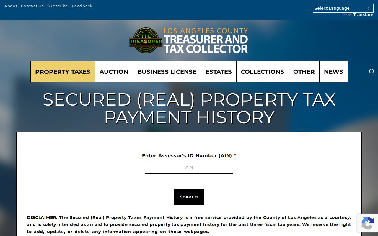
Tax payment status adds a parcel-time clue. It does not add a household member or current resident.
Lynwood Street Permit Records
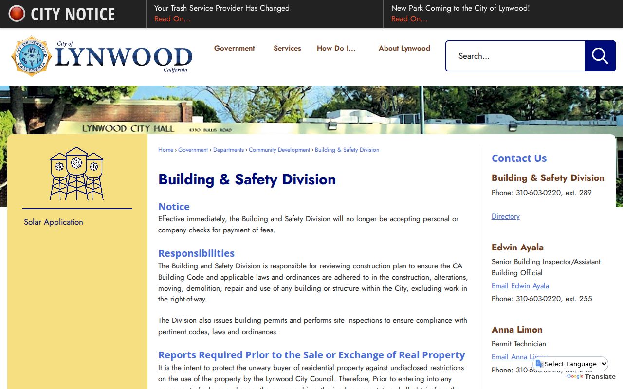
City Building and Safety handles plan review, construction, alteration, moving, demolition, repair, use permits, and inspections. Its public page describes an address map lookup: enter the address, select the result, and open the Permits drop-down. A file may date a physical change and contain applicant or contractor context, but an applicant is not automatically the owner or occupant.
On September 17, 2025, Lynwood announced a new online permit portal for water heater, wall heater, outlet, solar, re-roof, electrical, ADU, sign, and fence applications, plus inspection requests after approval. The exact dynamic input and public-result fields were not fully inspectable. Older files may require a counter request or a narrow California Public Records Act request.
For a visual reference, the Lynwood Building Safety Division is the official entry point for the address and permit process.
Permit dates work best beside the parcel’s building year, a deed, or a historical directory entry.
Lynwood Street Recorder Records
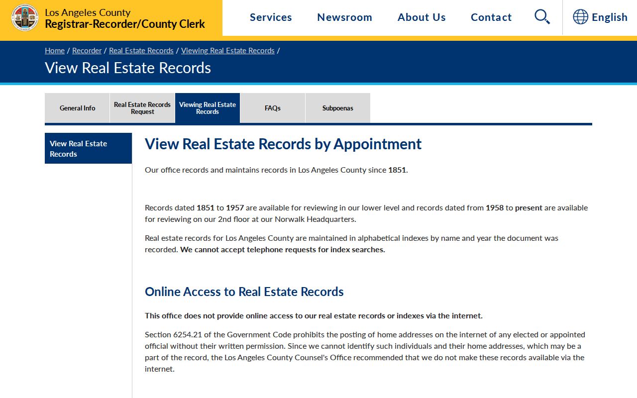
The RR/CC real-estate index is the title layer behind the street-by-street record, but it is not a remote web search. The index is alphabetical by grantor or grantee and year. A name search can use a year or year span, document type, and spelling variants. A document number is the best precise key once one is known.
| Recorder datum | Use in a street search |
|---|---|
| Grantor or grantee name | Primary index key; search both sides of a transfer. |
| Year recorded | Required for a name search or helpful year range. |
| Document type | Separate grant deed, deed of trust, reconveyance, lien, or notice. |
| Document number | Precise key for a known instrument or copy request. |
| Address or APN | Not accepted as the index key; start at the Assessor instead. |
The office maintains real-estate records from 1850/1851 to the present. Norwalk reviews 1851 to 1957 records on the lower level and 1958 to present on the second floor. Copies can be requested online through a vendor, in person, by fax, or by mail. The county says a complete instrument must be purchased rather than selected pages.
For a visual reference, the Recorder’s viewing instructions explain the offline name-and-year route.
Once a deed identifies the seller, search that seller as an earlier grantee and confirm the same legal description before moving backward.
Lynwood Street Directories and Haines
The LA County Library Californiana inventory verifies the strongest Lynwood reverse-directory shelf. Haines South Suburban covers 1981, 1983 to 1986, and 1988, with partial Lynwood flags for 1981 and 1983. Haines South Central covers 1989 to 1992. A criss-cross directory starts with street and number and returns a listed subscriber or resident, which makes it a historical address tool rather than a title index.
Names may be missing. A phone subscriber may not be the owner, and a directory gap may reflect nonpublication, an unlisted number, a changed area, or incomplete coverage. Pair a Haines entry with a deed, parcel, permit, census, or obituary before calling it a former resident.
The LAPL digitized collection adds OCR quirks. Residential address entries may need an `h` or `r` prefix, numbered streets may be filed in more than one way, and Broadway may appear as `Bway`. The full historical shelf belongs on the Lynwood city directories page, not in the current address chain.
Lynwood Street History and Lots
Modern street names sit on older land stories. The City traces the area from Rancho San Antonio through Guadalupe Lugo, Heldman, M. A. Shields, Slauson, and C. H. Sessions’s 1902 dairy and creamery at present Sanborn Avenue and Long Beach Boulevard. The Pacific Electric line came through in 1904 to 1905, and a depot opened at Long Beach Boulevard and Fernwood Avenue in 1929.
In 1913 the Lynwood Company opened about 800 acres as suburban home sites, including unusually deep 100-by-800-foot promotional lots. Later subdivision and lot splits can leave a modern street address sitting over a legal description that is more stable than the mailing label. The city incorporated July 16, 1921.
Long Beach Boulevard was not a country road in the dairy era, then became the main street. A past-address search should test maps, plats, directory spellings, and road records rather than assume the current name was always used.
Lynwood Street Directory Limits
A street directory can join a parcel to title, tax, map, permit, or historical subscriber evidence. It cannot list every occupant. The Assessor suppresses owner names online. Deeds identify title parties. Tax records follow an AIN. Utility accounts and DMV addresses are not public substitutes. California voter access is purpose-limited, and Safe at Home can hide an eligible participant’s residence.
Even a mailing address deserves a label. It may be outside Lynwood, belong to an entity or trust, or simply be where tax notices go. A parcel card, deed, permit, and directory entry should be read as separate snapshots.
Lawful personal use. Address records are appropriate for property history, family research, civic questions, and personal safety. Do not use a Lynwood address trail to stalk, harass, intimidate, or harm anyone.